


A 35 mil kilómetros de altura circula un nuevo aparato construido por el hombre, que mide los detalles de la atmósfera y de la columna de aire que respiramos. Y lo hace con una precisión inédita y quirúrgica.
Mirá las primeras imágenes del nuevo satélite meteorológico
Se trata del último satélite ambiental operacional geoestacionario, lanzado por la Nasa. Proporciona a los pronosticadores imágenes más nítidas y definidas de tormentas severas, huracanes, incendios forestales y otros peligros meteorológicos casi en tiempo real
19 de diciembre 2017 · 16:27hs
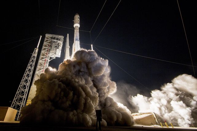
Se trata del último satélite ambiental operacional geoestacionario, más conocido como GOES-R (por sus siglas en inglés) que la NASA (Administración Nacional de la Aeronáutica y del Espacio) y la NOAA (Administración Nacional Oceánica y Atmosférica) lanzaron el 19 de noviembre de 2016
El satélite ya se encuentra en su fase operativa y pasó a adoptar oficialmente el nombre de GOES-16.
El satélite meteorológico [https://twitter.com/hashtag/GOES16?src=hash&ref_src=twsrc%5Etfw]#GOES16 entró en fase operativa. Esta es la última imagen disponible de nuestro continente. pic.twitter.com/AoJCzjJWPh
— SMN Argentina (@SMN_Argentina) 19 de diciembre de 2017
It's a good GOES morning! [https://twitter.com/hashtag/GOES16?src=hash&ref_src=twsrc%5Etfw]#GOES16 has a new view of [https://twitter.com/hashtag/Earth?src=hash&ref_src=twsrc%5Etfw]#Earth, here is our first sunrise imagery from the satellite's operational GOES East position.
— NOAA Satellites (@NOAASatellites) 19 de diciembre de 2017
See more amazing satellite imagery: https://t.co/eRJpPpx698 pic.twitter.com/7YocDQRXM1
Check out NOAA's GOES-East Image Viewer -As of 4 p.m. EST on Dec. 18, GOES-16 is now NOAA's operational GOES-East. The new GOES-East Image Viewer is now live and features GOES-16 Satellite imagery that you can zoom into. https://t.co/FrRMrTU15V [https://twitter.com/hashtag/noaa?src=hash&ref_src=twsrc%5Etfw]#noaa [https://twitter.com/hashtag/GOES16?src=hash&ref_src=twsrc%5Etfw]#GOES16 pic.twitter.com/61qU941pii
— NASAHurricane (@NASAHurricane) 19 de diciembre de 2017
NEW! You can access imagery from NOAA's [https://twitter.com/hashtag/GOESEast?src=hash&ref_src=twsrc%5Etfw]#GOESEast satellite ([https://twitter.com/hashtag/GOES16?src=hash&ref_src=twsrc%5Etfw]#GOES16) which officially went operational today through our GOES-East Image Viewer: https://t.co/V1ytEnQSXZ. pic.twitter.com/LP7UxJrjp4
— NOAA Satellites (@NOAASatellites) 18 de diciembre de 2017
Noticias relacionadas

Granizo en Santa Fe: detectaron microplásticos y metales en muestras recolectadas en Funes

Furor por Capi tras los Juegos Suramericanos: se vendieron 75.000 peluches y lanzan una nueva tanda navideña

Santa Fe premiará con hasta $8 millones a los deportistas que participaron de los Juegos Suramericanos